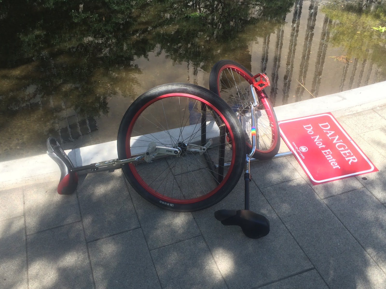
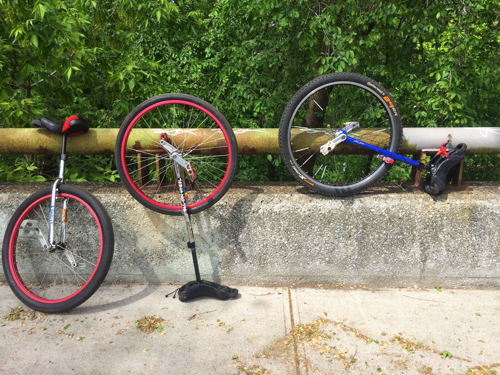
Pedestrian Bridge at Collect Pond Park
June 24, 2015, Keith Nelson, Rob Hickman
View on Unicycle NYC Bridge Tour Map at:
unibridgetour.net
From Wikipedia:
The Collect Pond — or Fresh Water Pond — was a body of fresh water in what is now Chinatown, lower Manhattan in New York City. For the first two centuries of European settlement in Manhattan, it was the main water supply for the growing city. The former pond became the site of a jail and is now a city park, Collect Pond Park, which includes a pond evocative of its former status.
The pond occupied approximately 48 acres (190,000 m2) and as deep as 60 feet (18 m).[1] Fed by an underground spring, it was located in a valley, with Bayard Mount (at 110 feet or 34 metres, the tallest hill in lower Manhattan) to the northeast and Kalck Hoek (Dutch for Chalk Point, named for the numerous oyster shell middens left by the indigenous Native American inhabitants) to the west.
A stream flowed north out of the pond and then west through a salt marsh (which, after being drained, became a meadow by the name of "Lispenard Meadows") to the Hudson River, while another stream issued from the southeastern part of the pond in an easterly direction to the East River.
The southwestern shore of the Collect Pond was the site of a Native American settlement known as Werpoes. A small band of Munsee, the northernmost division of the Lenape, occupied the site until the Dutch settlement of New Amsterdam was established. It is possible that members of this band were the participants in the famed sale of Manhattan (Manahatta) to the Dutch.
The Collect Pond and Five Points on the topographical map by Egbert Viele. The Five Points intersection is where Mosco Street (marked here as Park Street) intersected with Baxter Street (formerly Orange Street) and Worth Street (formerly Anthony Street). In the 18th century, the pond was used as a picnic area during summer, and a skating rink during the winter. However, industries began to use the water and dump waste there. These included tanneries, breweries, ropewalks, and slaughterhouses.
Beginning in the early 18th century, various commercial enterprises were built along the shores of the pond, in order to use the water. These businesses included Coulthards Brewery, Nicholas Bayard's slaughterhouse on Mulberry Street (which was nicknamed "Slaughterhouse Street"), numerous tanneries on the southeastern shore, and the pottery works of German immigrants Johan Willem Crolius and Johan Remmey on Pot Bakers Hill on the south-southwestern shore. By the late 18th century, the pond was already considered "a very sink and common sewer".
The contaminated wastewater of these businesses flowed back into the pond, creating a severe pollution problem and environmental health hazard. Pierre Charles L'Enfant proposed cleaning the pond and making it a centerpiece of a recreational park, around which the residential areas of the city could grow. His proposal was rejected and it was decided to fill in the pond. This was done with fill partially obtained from leveling Bayards Mount and Kalck Hoek. The landfill was completed in 1811 and Middle class homes were soon built on the reclaimed land.
The landfill was poorly engineered. The buried vegetation began to release methane gas (a byproduct of decomposition) and the area, still in a natural depression, lacked adequate storm sewers. As a result, the ground gradually subsided. Houses shifted on their foundations, the unpaved streets were often buried in a foot of mud and mixed with human and animal excrement, and mosquitoes bred in the stagnant pools created by the poor drainage.
Proposals were made to solve the problem, including the conversion of the pond to a park designed by Pierre L’Enfant, and the creation of a canal between the East and Hudson Rivers. In the end, it was filled in from land removed from nearby Bayard's Mount, the highest hill in lower Manhattan, rechristened after the Revolution "Bunker Hill" (commemorating the American battle at Bunker Hill, Boston; a small battery had fortified Nicholas Bayard's Mount during the Revolution [6]) and leveled between 1803 and 1811. By 1813, the Collect was virtually gone.
Several decades later, New York City obtained a new, plentiful supply of fresh water from the Croton Aqueduct. The neighborhood known as "Five Points", a notorious slum, developed near the former eastern bank of the Collect and owed its existence in some measure to the poor landfill job (completed in 1811) which created swampy, mosquito-ridden conditions on land that had originally had more well-to-do residents.
Most middle and upper class inhabitants fled the area, leaving the neighborhood open to poor immigrants that began arriving in the early 1820s. This influx reached a height in the 1840s, with large numbers of Irish Catholics fleeing the Irish Potato Famine.
While the pond had been condemned, drained, and filled in by 1817, the landfill job was poorly done, and in a span of less than ten years, the ground began to sink. New York's jail, nicknamed "The Tombs", was built on Centre Street in 1838 on the site of the pond and was constructed on a huge platform of hemlock logs in an attempt to give it secure foundations. The prison building began to subside almost as soon as it was completed and was notorious for leaks in its lowest tier and for its general dampness. When the original Tombs building was condemned and demolished at the end of the century, builders sank enormous concrete caissons to bedrock, as much as 140 feet below street level, in order to give its replacement more secure foundations. This damp foundation was primarily responsible for its bad reputation as being unsanitary during the decades to come.
The design, by John Haviland, was based on an engraving of an ancient Egyptian mausoleum. The building was 253 feet 3 inches (77.19 m) in length by 200 feet 5 inches (61.09 m) wide and it occupied a full block, surrounded by Centre, Franklin, Elm (today's Lafayette), and Leonard Streets. It initially accommodated about 300 prisoners.
That structure was notorious for the damp conditions which resulted from being built on the landfill used to fill in the Collect Pond. The original building was replaced in 1902 with a new one on the same site connected by a "Bridge of Sighs" to the Criminal Courts Building on the Franklin Street side. That building was replaced in 1941 by one across the street on the east side of Centre Street with the entrance at 125 White Street, officially named the Manhattan House of Detention, though still referred to popularly as "The Tombs".
Connecticut inventor John Fitch was an instrument maker working in the later part of the 18th century. As an early pioneer of steam navigation, Fitch tested several steamboats on the Delaware River between 1785 and 1788. Fitch’s real success, however, occurred a few years later when, in 1796 he tested another ship equipped with a paddle wheel on New York’s Collect Pond. On the boat with him was fellow inventor Robert Fulton, Robert R. Livingston, who was the first Chancellor of New York and a signer of the Declaration of Independence, and 16-year-old John Hutchings steering.
This was a full six years before Fulton and Livingston launched “Fulton’s Folly” on the Seine River in France. Hutchings claims to have been a “lad” at the time who “assisted Mr. Fitch in steering the boat”. In a broadside issued in 1846 Hutchings asserts that it was in fact Fitch who designed the steam propulsion mechanism. He claims that both Fulton and Livingston were present during the Collect Pond tests and in fact depicts both, as well as Fitch and himself, in a paddlewheel steam ship in the upper left quadrant of the broadside. Though Fulton seems to have received most of the credit for the era of steam navigation, Hutchings hoped, through the publication of this broadside, to shed some light on Fitch’s contributions as well.
In 1960, a portion of the site of the Collect was given to the New York City Department of Parks and Recreation for conversion into a park. Originally, the park was named "Civil Court Park" due to its proximity to the surrounding courthouse buildings. However, the park was renamed "Collect Pond Park", its current name, to represent its history more accurately. The park is located on the block bordered by Lafayette Street, Leonard Street, Centre Street, and White Street.
The park was closed for a total reconstruction. In 2012, reconstruction of the park uncovered the granite foundation of The Tombs, leading to a partial stop-work order pending archaeological investigation. The newly rebuilt park, reopened in May 2014, includes a pond evocative of the former Collect Pond.
The granite foundation of The Tombs uncovered during reconstruction of Collect Pond Park in early 2012
It is still possible to ascertain the rough boundaries of the Collect Pond and original topography in the elevations of the streets in the area, with the lowest elevation being Centre Street which runs in the approximate center of the former pond.